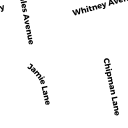
33 JAMIE LN
Owner Information
ALLEN GLENN M
33 PACKARD RD
STOUGHTON, MA 02072


Property Details
33 JAMIE LN is classified as a Single Family Residential (Split cape).
The primary structure on this property was built in 1987. There are 3,197ft2 of built area within this property. There is 3,197ft2 of residential/living space within this property. This property is listed as having 8 rooms.
33 JAMIE LN is valued at $605,400. The land is valued at $180,700 and the structures are valued at $419,400. There is an additional valuation of $5,300 on this property.
This property is in Zone RC. Confirm with local Zoning Board authorities to ensure there are no overlays or other easements on this property.
The most recent deed for 33 JAMIE LN is recorded at the local registrar in Book 38029, Page 300. 33 JAMIE LN was last sold on Monday, June 29, 2020 for $619,000.
Assessment data from fiscal year 2022.
Flood Data
According to the FEMA National Flood Hazard Layer, this property does not appear to be in a flood zone. It may also be in an area not yet reviewed. Nonetheless, confirm this information prior to taking any action.
To view the flood hazards around this property, create a FEMA "Firmette" Map of the area around 33 JAMIE LN.
Broadband Internet Providers
| Provider | Type | Bandwidth (mbps) | |
|---|---|---|---|
| Viasat Inc | Satellite | 100 | 3 |
| Verizon New England Inc. | DSL | 10 | 1 |
| Comcast | Cable | 1000 | 35 |
| GCI Communication Corp. | Satellite | 0 | 0 |
| HughesNet | Satellite | 25 | 3 |
| VSAT Systems, LLC. | Satellite | 2 | 1 |
| Verizon New England Inc. | Fiber | 940 | 880 |
Broadband service provider data from December 2020.
Adjacent Properties
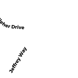
- 96 EDWARD KELLEHER DR
Single Family Residential owned by MARTINS HELDER D & MARIA L TRS - 80 EDWARD KELLEHER DR
Single Family Residential owned by KAUFMAN STEVEN & - 117 JAMIE LN
Single Family Residential owned by CARDELLA ANTHONY C - 97 JAMIE LN
Single Family Residential owned by TURNER CAROLYN - 53 JAMIE LN
Single Family Residential owned by MCCULLOUGH KEITH A